
 A.R.B.J Rajapaksha
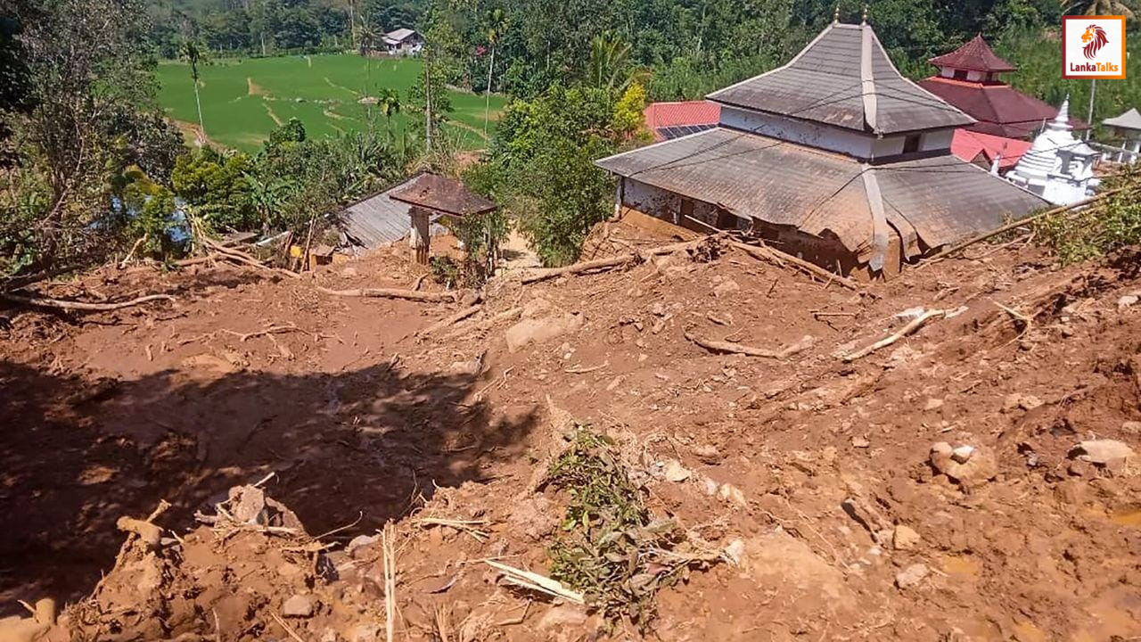
Approximately 4,800 landslides have been identified through satellite-based assessments conducted following Cyclone Ditwah, the Arthur C. Clarke Institute for Modern Technologies Director General, Kumari Meegahakotuwa stated. She made these remarks while attending a media briefing held on Monday (12) at the Government Information Department. Meegahakotuwa noted that satellite imagery and data obtained after Ditwah were used to carry out comprehensive landslide mapping. She noted that an analysis of these maps revealed that the actual number of landslides is significantly higher than the figures reported so far through the media. According to reports, the nationwide satellite image analysis has enabled the complete mapping of landslides across the country, indicating that the total number of landslide incidents is close to 4,800. She stated: “Using satellite imagery captured during and after Ditwah, we carried out landslide mapping. Based on these maps, we were able to identify the number of landslides is far greater than what has been reported through the media. Through satellite imagery, we identified approximately 4,800 landslide incidents.”
Source - The Morning